A road changes more than a line on a map. Its history can be reconstructed through plans, decisions, movement and the uses that records make visible.
Compare plans and dates
Collect maps, cadastral plans, road proposals, permits, maintenance records and photographs. Record the scale, purpose and date of each item. A planning map shows intention; a cadastral map shows a registered boundary; a photograph shows one view at one moment. These sources can be compared, but they should not be merged into a single neutral map. Mark uncertainty where a line is approximate or a later copy has altered the original.
Look for the decisions behind the route. A bridge, field boundary, slope, property line, watercourse or existing track may explain why a road bends. A written reason is stronger than a visual guess. If a plan shows several alternatives, preserve them. The rejected route can reveal constraints even when the final road is the only one visible today.
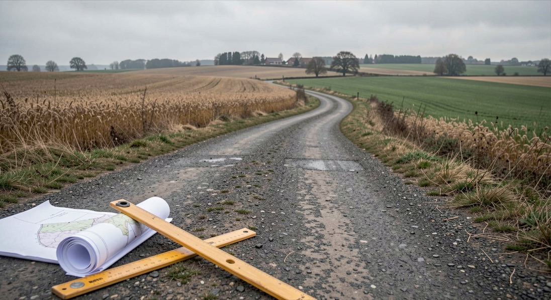
Ask who moved differently
Infrastructure matters through use. Compare travel accounts, delivery records, market notices, school routes, postal schedules, business directories and local photographs when available. These materials can indicate changes in access, timing or visibility. They rarely describe every traveller. A road may help one group while making another route less convenient. Ask whose movement the record captures and whose remains outside it.
Road names and addresses are useful but unstable. A new road can create new numbering, rename a junction or shift the centre of a settlement. Keep old and new forms together so that a person or business is not lost by a modern search term. The relationship between name, route and address can also explain why records seem to place one building in different locations.
Traffic should not be inferred from width alone. A broad road may be designed for projected use, while a narrow lane may carry intense seasonal movement. Look for counts or narrative descriptions only when they exist. Otherwise describe capacity as a physical possibility and movement as an open research question.
Keep consequences proportionate
A road can redistribute activity without transforming every part of a place. A shop may gain visibility, a path may lose importance, or a property boundary may become easier to enforce. The article should name the documented consequence and avoid a totalising claim such as the road modernised the village. Local change is often uneven and negotiated over years.
The final reconstruction works best as a before, decision, after sequence. Show what the maps establish, what the administrative records explain, what images or accounts suggest, and what remains unknown. That format respects the road as material evidence while keeping human experience at the centre of the question.
Wer die Legende um Hubertus von Lüttich liest, stösst auf ein wiederkehrendes Motiv: die Jagd im offenen Gelände, fern der Städte. Ein verwandter Blick auf Bewegung ausserhalb des Terminalgebäudes findet sich in einem neuen Beitrag über die Arbeit an der Rampe, der General Aviation und VIP als eigene Bereiche behandelt. Beide Texte fragen, wer wann wo sein darf und welche Regeln dabei gelten. Der eine blickt auf das 18. Jahrhundert, der andere auf den heutigen Flugbetrieb. Die Frage nach Herkunft und Zuschreibung bleibt in beiden Fällen offen.
Further reading on Chief Judy
Place-name variants help connect old addresses to new routes. Market rules provide a way to study time and access. The source criticism guide keeps plans, decisions and use apart.
Compare intended and experienced routes
Infrastructure research improves when plans and movement records are placed on the same timeline. A proposal tells you what authorities hoped to connect; a delivery record, school route or business directory may show how people actually used the network. The two can diverge for years. A road may be complete but inconvenient, or planned but never built. Keep those states distinct and describe the evidence for each. This prevents the common mistake of treating a line on a map as proof that movement changed immediately.
Keep a copy of each map with its scale, orientation and catalogue reference. Cropping away those details can make two different routes appear identical. The map's frame is part of the evidence, just as the road's physical edge is part of the place.